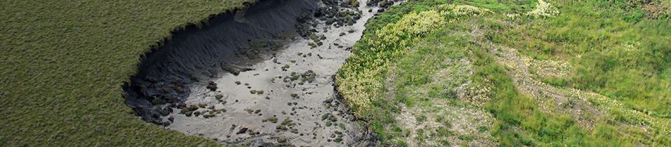
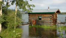
March 31, 2013The Government of the Yukon is using radar imagery to help predict the potential for flooding in Yukon Communities. Click here for Information Note Keywords: Information NotesISSN: 2291-3904Territory: Yukon